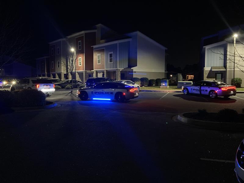
1 dead in N. Charleston shooting
Motorcyclist dies in Mount Pleasant crash
Man shot, killed following shooting in Union Co
1 dead, 2 injured after two vehicles crash head-on in Union Co
 7 Monat zuvor
Incident near Bellamy Avenue in Conway all cleared, officials say
Crews respond to reported structure fire in N. Charleston
Suspect in custody after downtown stabbing leads to chase, standoff
Firefighters respond to structure in Wild Dunes Resort chsnews
Man found dead after fire in Upstate, coroner says
Charleston Police respond to downtown shooting
Shots fired at SC bar leave 4 injured, police say
Officials investigating deadly fire in Pickens County
Woman dies after her vehicle strikes tree in Greer, coroner says
 8 Monat zuvor
Crews isolate gas leak after car crashes into Little River-area building
North Charleston Police investigating double shooting chsnews
North Charleston Police respond to incident off Ashley Phosphate
Investigation underway after person found with gunshot wound in Upstate, deputies say
Police, SWAT on scene of Greenville apartment complex for barricaded person
Nikki Haley does not intend to support Trump after the decision to withdraw
A 6-year-old has died due to injuries from an accidental shooting, according to Beaufort Police
Shooting involving law enforcement under investigation in Upstate, SLED says
Police investigating fatal auto-pedestrian crash on Dorchester Rd
Two people killed in 7-car pile-up in Upstate, troopers say
One killed in York County officer-involved shooting: Sheriff
Coroner responding to deadly crash in Anderson Co
Drive-by shooting investigation shuts down Ladson area road
2-alarm fire reported on Greenbriar Avenue in Pawleys Island
One person is dead after a collision in Aiken County
Possible shooting incident linked to crash reported on Hwy 31 in Horry County
Controlled burn happening on International Drive from our North Myrtle Beach SkyCam.
South Carolina news on live map
Colors on the map
 U.S gov
 Authoritarian countries, far-right, far-left groups, and Donald Trump
 Terrorists and criminals
 Non-government organizations and groups
 Non-aligned, Nature
 Solar eclipse on 21 August
Path of solar eclipse on 21 August Areas
Blizzard/Winter storm warning Icons
 Straße, Unfälle, Autos
 Artrillerie, MLRS
 Flugzeuge, Jets
 Hubschraubers
 Lages, Zelle
 Gefangen
 Getötet
 Messerstecherei Angriffe
 Feuers
 Verletzt, Medikamente
 Brandflaschen
 Polizei
 Schießen
 Ansprache, Aussage
 blockierte Straße
 Tanks, APCs, bewaffnete Fahrzeuge
 Schlägers, Menschen in Masken
 Strahlungsträger
 Schiffe, Kriegschiffe
 Gas, chemical weapons
 Drohnen, Roboten
 Rallyes, Proteste, Demonstrationen, Menge
 Geiseln und Flüchtlinge
 keine Verbindung, Leitungsrauschen, Funkmeßortungsgerät
 Gewehrpistole, bewaffnete Männer
 Explosionen
 Anschlage
 LKWs
LKWs Hackers, Computers
 Bilder
 Nährung
 Geld
Geld Presse
 Handy
Handy Befestigungsanlage
 Video
Video Zerstörung
 Landminen, selbstgemacht Sprengstoffe
 Aufbau
 Einsenbahn
 Haus
Haus Flugzeugabwehr
 Keine Wasser
 Rakete
 U-Boot
 Twitter
 Facebook
 Stromausfall
 Biohazard
 Naturkatastrophe
 Börsen
 Transport or civil plane
 Rettung-Operation
 natürliche Ressource
 mobile Anwendungen
 Drogen
 Erdbeben
 Überschwemmungen
 Tsunami
 Tiere, wilde Natur
 Sport
Sport Karte
Karte Vulkan
 Schnee
 Pollution
 Manpads
 Korruption
 Satellite
 Alcohol
 Arrested
 Sun
Sun Bus
Bus Animals: Cat
 Animals: Dog
 Stocks Down
 Animals: Snake
 ATGM
ATGM Animals: Panda(rare animals)
 Animals: Horse
 Animals: Cow
 Animals: Lion
 Animals: Shark
 Animals: Wolf
 Supply
 Flares
 Animals: Bear
 Machine Gun
 Stun grenade
  Airplanes: light plane
 Motobike
 Balloon
 Bulldozer
 Cruise Missile
 FPV drone
 Map Change Event
 Missile Airborne
 Quadcopter(Mavic)
 Large explosive drone(Shahed)
 Tractor
 Tunnel
 Air Alert
 Aerostat, High-Altitude balloon
Attention! All events and areas of control on the map are geolocated approximately